History of Khmelnytskyi Oblast
According to archaeological excavations, the first settlements in the Khmelnytskyi region appeared in the Early Paleolithic. The oldest Paleolithic site of primitive hunters (about 300 thousand years old) was found near the village of Vrublivtsi in the Kamianets-Podilskyi district. During the middle and especially late Paleolithic, primitive hunters began to populate the territory of present Podolia.
During the Neolithic, about 6-9 thousand years ago, settlements of ancient farmers and cattle breeders appeared throughout the territory of the Khmelnitsky region. In the 4th-3rd millennium BC, the Dnieper and Nadbuzhzha were inhabited by people of the so-called Trypillia culture, who had large settlements and more advanced houses. In Khmelnitsky Oblast, about 150 monuments of Trypillian culture have been discovered.
The ancestors of the ancient Slavs were most probably the tribes of the so-called Scythian period (the 7th-4th centuries BC). Their burial grounds and the remains of settlements can be found throughout the region. Since the beginning of the 1st millennium AD, the territory of Podolia was inhabited by early Slavic tribes engaged in arable farming.
In the 9th century, the old Russian state of Kievan Rus arose uniting the early Slavic tribes. In 1141, the Principality of Galicia was formed, which included the southern part of the present Khmelnytskyi region.
More historical facts…
In 1246, after the Mongol invasion, the Principality of Galicia-Volhynia (also known as the Kingdom of Ruthenia or Kingdom of Russia) became dependent on the Golden Horde. Over time, due to the feudal fragmentation of the old Russian lands and their weakening as a result of the Mongol invasion, this territory began to come under the control of Lithuania and Poland.
In 1439, as a result of the struggle between Poland, the Principality of Lithuania, and Hungary, the lands of Western Podolia were declared a separate Podolia Voivodship with a center in the town of Kamianets-Podilskyi. From the middle of the 15th century, the devastating raids of the Crimean Tatars in Podolia became more frequent.
According to the Truce of Andrusovo of 1667, most of the Right-Bank Ukraine and Eastern Galicia, which included the present Khmelnytskyi region, remained as part of Poland. In subsequent decades, this territory became the scene of continuous military clashes, the struggle for spheres of domination. In 1672, the army of the Ottoman Empire captured the Podolia Voivodship. However, in 1699, these lands were returned to Poland.
In 1793, the lands of Podillia as part of the Right-Bank Ukraine were annexed to the Russian Empire. At the beginning of the 20th century, the northern part of the Khmelnytskyi region was part of the Volhynian Governorate. Industrial development, the events of the First World War and the Russian Civil War greatly influenced the dynamics of the ethnic composition of the urban population and little changed the ethnic structure of the rural population.
This region, like all agricultural zones of Ukraine, suffered significant population losses because of wars, forced collectivization, and especially the famine of 1932-1933, as well as the repression of the 1930s.
On September 22, 1937, a separate Kamianets-Podilskyi Oblast with a center in Kamianets-Podilskyi was allocated from the territory of Vinnytsia Oblast. In March 1941, the administrative center of the region was moved to Proskurov (present-day Khmelnytskyi), but the region retained its name.
After the Second World War, the economic recovery of the region began. By the end of 1950, 440 industrial enterprises were commissioned. Gross industrial output reached 95% of the pre-war level.
On January 16, 1954, in honor of Bohdan Khmelnytskyi, a Ukrainian Hetman of the Zaporozhian Host, the city of Proskurov was renamed Khmelnytskyi, and the region also got a new name - Khmelnytskyi Oblast.
Since 1991, during the years of independence of Ukraine, radical changes occurred in the economy of the region in the process of reforms. New industrial enterprises were commissioned, primarily the second unit of the Khmelnytskyi Nuclear Power Plant (about 7.6% of total electricity production in Ukraine).
Nature of Khmelnytskyi Oblast
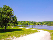
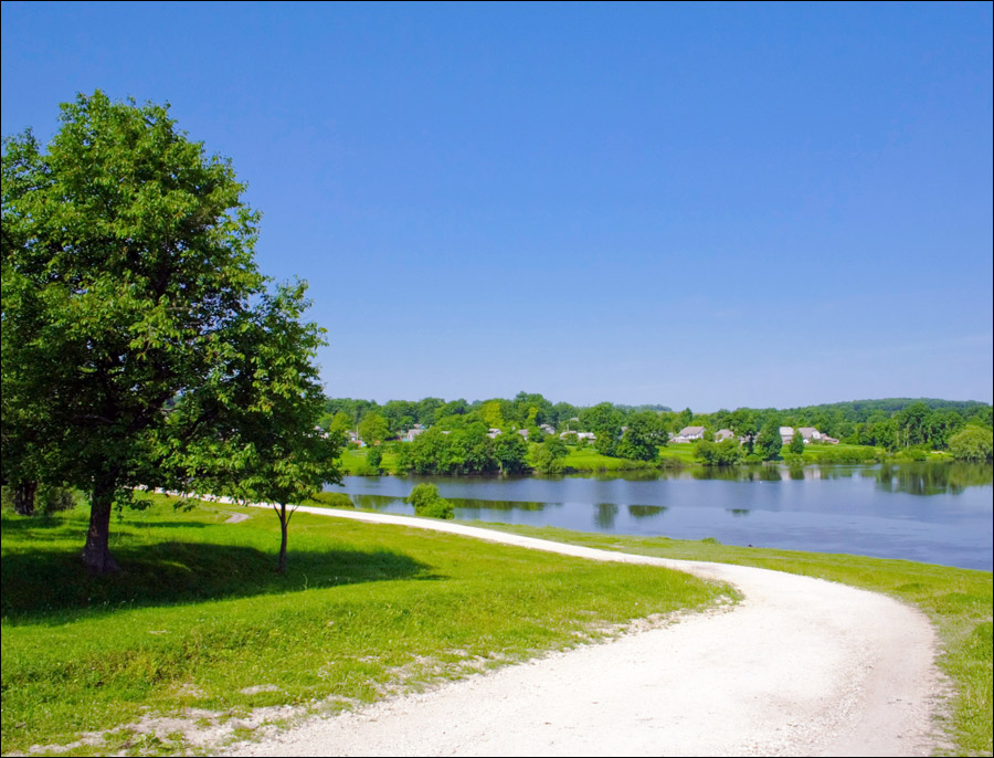
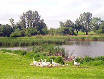
Summer in Khmelnytskyi Oblast
Author: Shabrov Alexander
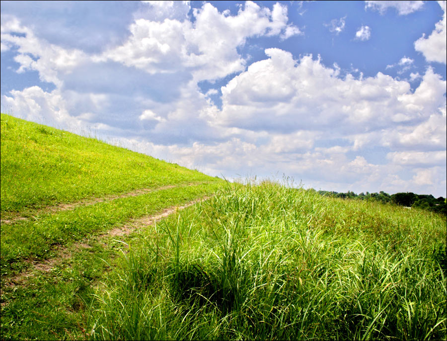
Khmelnytskyi region landscape
Author: Shabrov Alexander
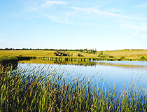
Khmelnytskyi Oblast scenery
Author: Stakhovsky
Khmelnytskyi Oblast - Features
Khmelnytskyi Oblast is located at the junction of two historical and geographical regions - the Right Bank Ukraine and Western Ukraine. The length of the region from north to south is about 220 km, from west to east - 120 km. This region is rich in natural building materials. At the same time, it is completely devoid of metallic mineral resources.
The climate is temperate continental with mild winters (the average temperature in January - minus 5 degrees Celsius) and warm, humid summers (the average temperature in July - plus 19 degrees Celsius).
Engineering and metalworking occupy an important place in local industry. These enterprises produce machine tools, forging machines, transformers, agricultural machinery for crop production, cable, electrical products, etc.
Electric power industry plays an important role in the development of the regional economy - primarily the Khmelnytskyi Nuclear Power Plant located in the town of Netishyn, about 150 km north of Khmelnytskyi.
About 4% of all agricultural lands in Ukraine are located in the Khmelnytskyi region. The largest sown area in the region is occupied by grain crops, and among them - winter wheat. Barley, peas, oats, buckwheat, corn, and potatoes are also grown. Podolia is also the land of gardens. The main fruit crops are apples, pears, apricots, cherries, walnuts. Khmelnytskyi Oblast is one of the most important regions in Ukraine where sugar is produced, more than a dozen sugar factories operate here.
This region has a well-developed transport network. It is located on transport routes connecting the main industrial centers of Ukraine (Kyiv, Kharkiv, Donbass), the Black Sea ports with the western regions of Ukraine, the countries of Central and Eastern Europe. The capital of the region has regular railway connections with European capitals: Moscow, Prague, Bratislava, Warsaw, Budapest, Belgrade.
Tourism in the Khmelnytskyi Region
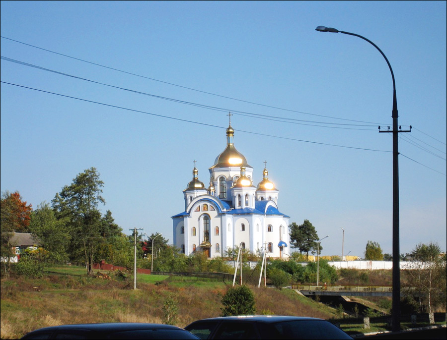
Khmelnytskyi Oblast is rich in medieval monuments of defense and church architecture - castles, fortified churches, and palaces. A significant part of this heritage is concentrated in the city of Kamianets-Podilskyi, the historical capital of Podolia. The main and most picturesque attraction of which is its well-preserved medieval castle.
In total, this region has 105 monuments of archeology (12 of national importance), 2,442 historical monuments (4), 341 monuments of architecture and urban planning (230), 474 monuments of monumental art (1).
Podilski Tovtry National Park located in the south of the Khmelnytskyi region is the largest natural park in Ukraine included in the list of the seven natural wonders of the country in 2008. In 2017, it was also included in the UNESCO World Heritage List as one of the beech forests of the Carpathians. The unique man-made objects and natural complexes available on the territory of the park created exceptional conditions for the development of tourism, not only recreational, but also informative.
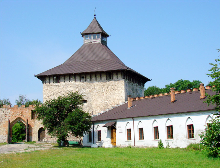
Medzhybizh Castle is located in the village of Medzhybizh, about 30 kilometers east of Khmelnytskyi. The first fortifications were built here even before the Mongol invasion. After the Lithuanians gained control of this region, in 1362, a fortified castle was built on the site of the former fortifications demolished by order of the Mongols. In 1540, the hetman Nikolai Sinyavsky reconstructed it - a new system of fortifications was created. It has survived to our times.
Sataniv Resort located in the Horodok district of the Khmelnytskyi region, about 75 km west of Khmelnitsky, is also known as “Podolia Switzerland”. Six mineral springs found here are different in composition and unique in their healing properties. This place also has a rich historical heritage: in ancient times there was a center of the pagan religion of the Eastern Slavs here.
From Sataniv, there is a road to Mount Bohit - a large pagan sanctuary. The Zbruch Idol, one of the most revered idols in Kievan Rus, once stood in its center. This place still attracts people interested in paganism.
In addition, there are ruins of the castle of the 17th century, the Jewish synagogue of 1532, the monument “The Weeping Jesus” (1653), the old Jewish cemetery (the first burial dated 1576), the Holy Trinity Monastery (939).
Atlantida, a karst cave known to cavers around the world, is located near the village of Zavallya. Its total length is 2,525 meters. This is the only three-level horizontal cave in Ukraine. Thanks to the variety and beauty of its crystals, Atlantida has gained worldwide fame. It is sometimes called a natural mineralogical museum.
According to legend, in the upper part of the slope, above the cave there was once a small church. One day it fell underground into the karst abyss and the village got its present name, which literally means “falling”.
Samchyky Estate located in the village of Samchyky in the Starokostiantyniv district is one of the most remarkable places in Ukraine, since its buildings, architecture and interiors have retained their original appearance of the 19th century. An elegant palace and a complex of outbuildings, including the Chinese pavilion with a pagoda roof, are located in a park by the lake. In the 19th century, this place received the name “Ukrainian Versailles”.
Bakota St. Michael’s Cave Monastery - the oldest monastery in the Middle Transnistria founded in the 11th century, which was once located inside a cliff at an altitude of 120 meters. In the 15th century, a large rock collapsed and part of the monastery was under the rubble.
The history of Bakota ended in 1981, when during the construction of a hydroelectric power station, the village was completely flooded. Only in one place you can see the remains of cells and burials of monks, the ruins of St. Michael’s Church, and abandoned orchards.