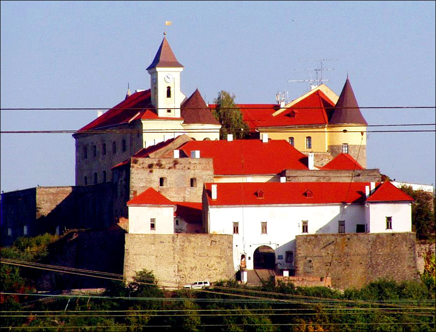
Zakarpattia Oblast - Overview
Zakarpattia Oblast or Zakarpatska Oblast is an administrative region located in the south-west of Ukraine within the western part of the Ukrainian Carpathians and the Transcarpathian Lowland. In the south it borders with Romania, in the southwest with Hungary, in the west with Slovakia, in the northwest with Poland. Uzhhorod is the capital city of the region.
The population of Zakarpattia Oblast (2021) is about 1,244,000 (3.02% of the total population of Ukraine).
The area of Zakarpattia Oblast - 12,753 sq. km. (2.11% of the total area of Ukraine).
Brief History of Zakarpattia Oblast
The first mention of people in the territory of Transcarpathia refers to the period of the early Paleolithic (about 500 thousand years ago). Here, under the pressure of the Romans, the Carps, one of the Thracian tribes, moved from the Seret and Prut valleys. Most probably the Carpathian Mountains were named after this tribe.
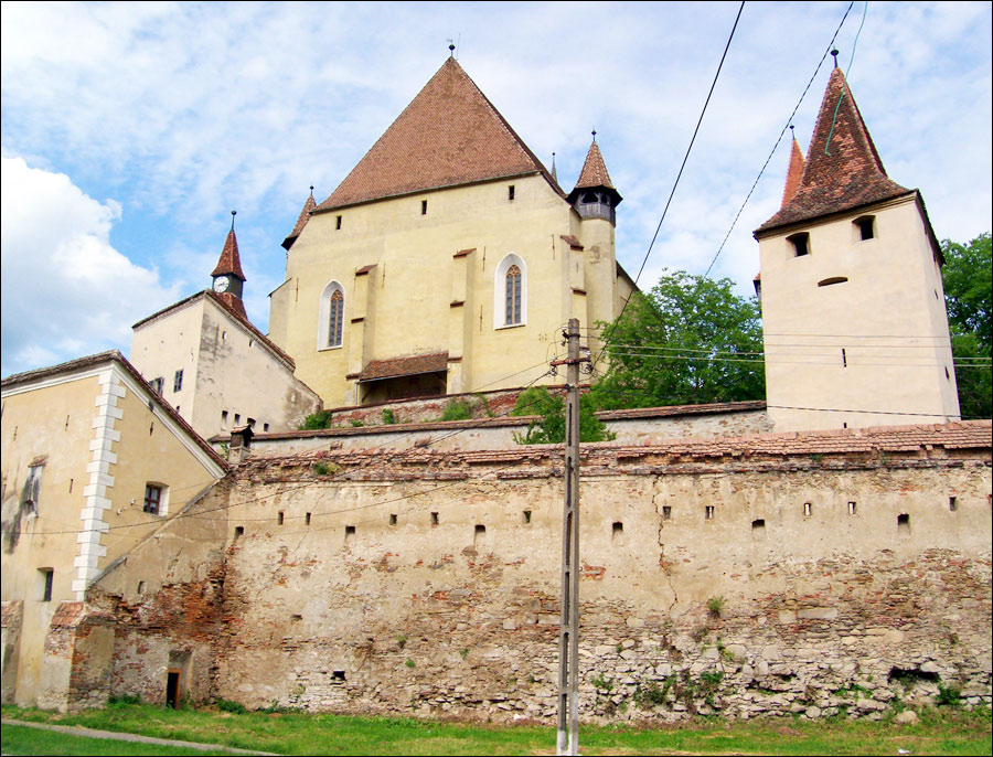
In the 9th-11th centuries, Transcarpathia was in the sphere of influence of Kievan Rus. After it, the territory of Transcarpathia was part of the Hungarian Kingdom, the Principality of Transylvania, the Austro-Hungarian Empire.
In 1918-1919, after the collapse of the Austro-Hungarian Empire as a result of the First World War, this territory was occupied by the Czechoslovak and Romanian armies. In May 1919, a meeting in Uzhhorod declared a desire to join Czechoslovakia. June 4, 1920, in the Treaty of Saint-Germain, it was named “Subcarpathian Rus” as part of Czechoslovakia in the status of an autonomous region.
After the annexation of the Sudetenland region of Czechoslovakia by the Nazi Germany (Munich Agreement of 1938), an independent state of Carpathian Ukraine was proclaimed in the region. March 18, 1939, Hungarian troops entered the region. In 1944, Transcarpathia was occupied by Soviet troops.
June 29, 1945, in Moscow, an agreement was signed on the entry of the former Subcarpathian Rus into the Ukrainian SSR. January 22, 1946, the Transcarpathian region of the Ukrainian SSR was created - Zakarpattia Oblast.
In 1991, after Ukraine gained independence, the Zakarpattia region remained as part of this new state.
Zakarpattia Region - Features
Zakarpattia Oblast is located on the southwestern slopes and foothills of the Eastern Carpathians, and also includes the Transcarpathian lowland. This is the only region of Ukraine bordering with four countries (Romania, Hungary, Slovakia, Poland). Thus, the Zakarpattia region is a kind of Ukrainian “window to Europe.”
The Carpathian Mountains occupy about 80% of the region. The peaks of the Chornohora range are the highest on the territory of Ukraine - the peaks of Pip-Ivan, Brebeneskul and Petros exceed 2 km in height, and Mount Hoverla reaches an altitude of 2,061 m - the highest point of the region and Ukraine.
The total area of protected areas is about 12.5% of the territory of the region. The Carpathian Biosphere Reserve is the largest and one of the most interesting objects of the natural reserve fund of Ukraine. In 1993, it was included in the list of biosphere reserves protected by UNESCO. The area of this reserve is 57,880 hectares (578.8 square km.). In total, forests occupy more than 50% of the territory of the Zakarpattia region.
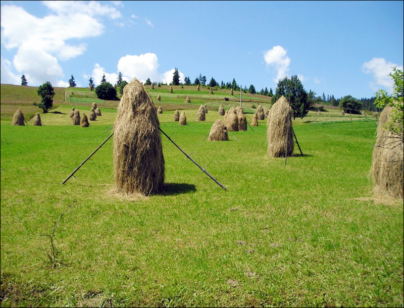
Beautiful nature of the Zakarpattia region
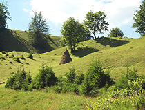
Hilly landscape in Zakarpattia Oblast
Author: Alexander Naumov

Exploring the Carpathian Mountains in the Zakarpattia region
Author: Andriy Chmelov
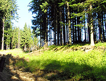
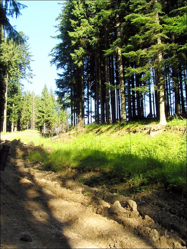
Forest in the Zakarpattia province
Author: Alexander Kozak
Traditionally it is believed that the geographical center of Europe is located in the territory of Transcarpathia near the village of Dilove in the Rakhiv district (it is disputed now).
The climate in the Zakarpattia region is temperate continental with the prevailing influence of the Atlantic. The average air temperature in July is up to plus 21 degrees Celsius, in January - minus 4 degrees Celsius (minus 10 degrees Celsius in the mountains).
Uzhhorod (113,000) and Mukachevo (86,000) are the largest cities. A significant part of the population, about 60%, lives in rural areas. Ukrainians make up about 80% of the population, Hungarians - 12%, Romanians - 2.5%, Russians - 2.4%.
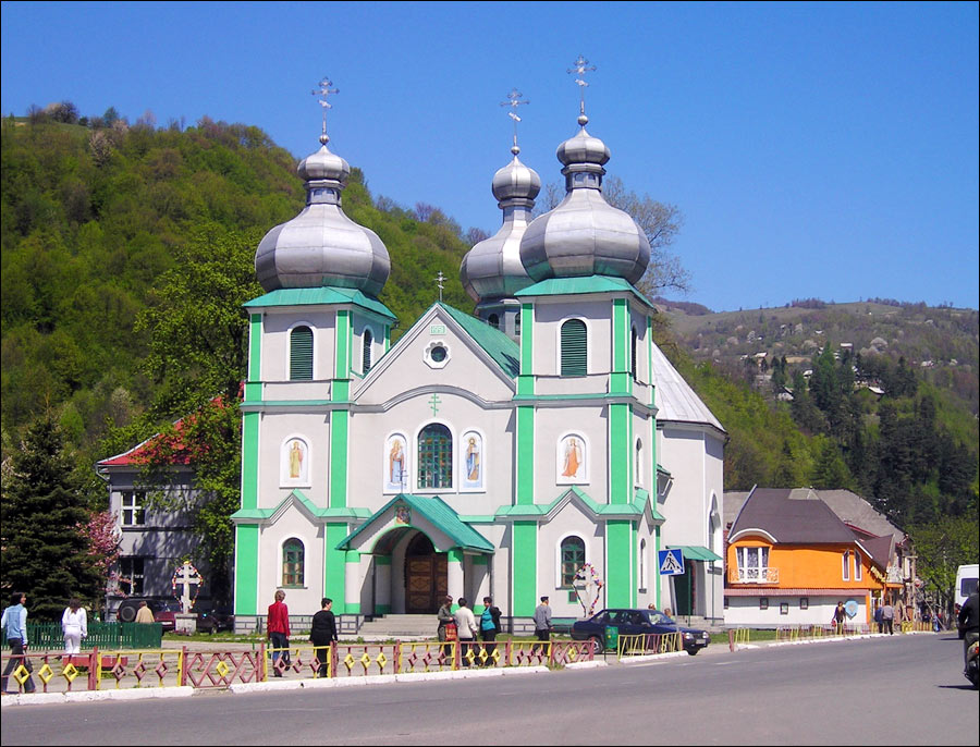
The resort resources of the Zakarpattia region are mainly mineral waters and climate. This is one of the most important tourist regions of Ukraine. There are at least 11 tourist bases, in particular in Uzhhorod, Mukachevo, Rakhiv, Volovets, Mizhhiria, Yasinia; 4 excursion bureaus - in Uzhhorod, Mukachevo, Khust, and Rakhiv. Zakarpattia Oblast is one of the centers of winter sports in Ukraine.
The main industries are the timber and woodworking industries (furniture, lumber production), wood chemical (wood processing products), food industry (wine, brandy, fruit canning, soft drinks, and mineral water), light industry, engineering, building materials industry.
Road transport is of greater importance for the Zakarpattia region than in other parts of Ukraine.