Lugansk Oblast - Overview
Lugansk (Luhansk) Oblast or Luhanska Oblast is an administrative region located in the southeastern part of Ukraine, in the basin of the middle Seversky Donets River, on the ways from Donbas to Russia. Lugansk is the capital city of the region.
As of January 1, 2026, as a result of the Russian invasion of Ukraine, almost the entire territory of Lugansk Oblast (99.8%) is controlled by Russia.
The population of Lugansk Oblast (2021) is about 2,103,000 (5.11% of the total population of Ukraine).
The area of Lugansk Oblast is 26,683 sq. km. (4.42% of the total area of Ukraine).
The latest history of Lugansk Oblast
In 2014, as a result of the political crisis in Ukraine, during the protests that took place in the region, governmental buildings were seized and the Lugansk People’s Republic was proclaimed.
On May 11, 2014, a referendum on the independence of the Lugansk People’s Republic was held. Its legitimacy was not recognized by Ukraine, the EU and the US said that it was illegal.
The territory of the region became the site of fighting between the Armed Forces of Ukraine and the people protecting the self-proclaimed republic supported by Russia.
In October 2014, the Ukrainian regional administration was moved from Lugansk, not controlled by the Ukrainian authorities, to Severodonetsk (Sievierodonetsk).
In 2022, during the Russian invasion of Ukraine, almost the entire territory of Lugansk Oblast was captured by Russia.
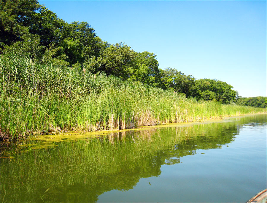
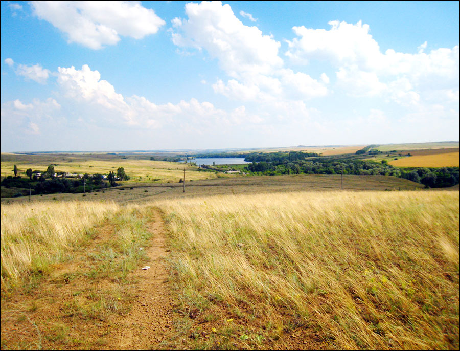
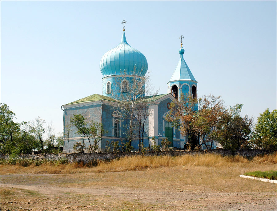
Lugansk region nature
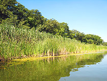
Lugansk region nature
Author: Alexander Byelkin
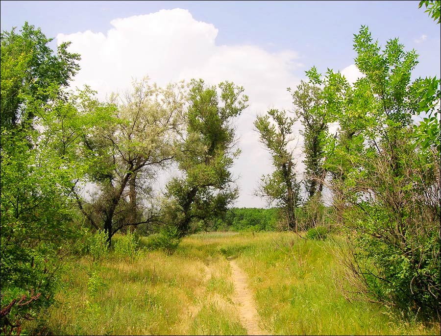
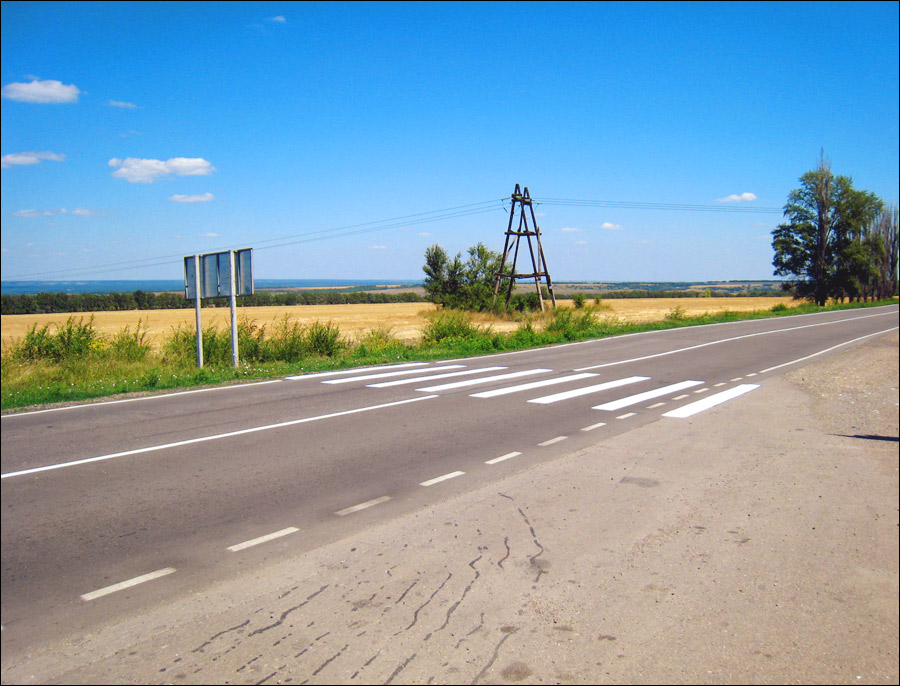
Lugansk oblast nature
Author: Eila Tanedo
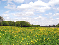
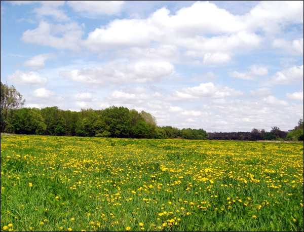
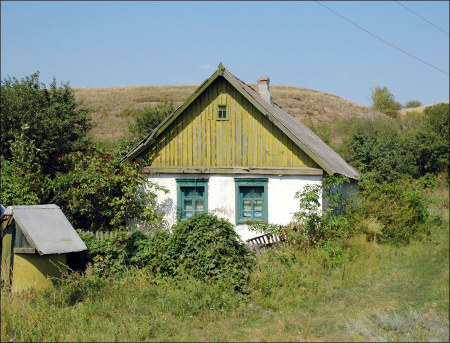
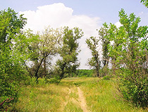
Lugansk province landscape
Author: Konstantin Vostrikov
Lugansk Oblast - Features
The climate is temperate continental. The average temperature of the warmest month (July) is plus 21 degrees Celsius, of the coldest month (January) - minus 7 degrees Celsius.
Winter is relatively cold, with strong eastern and south-eastern winds, frosts. Summer is hot, the second half is noticeably dry. Autumn is sunny, warm and dry.
Lugansk Oblast territory stretches for 250 km from south to north, and for 190 km from west to east.
Its borders coincide with Ukrainian frontiers in the north, east and south, and thus it is in the immediate neighborhood of Russia.
The population of the region makes about 5.11% of that of Ukraine. It is the fifth most populated region of the country.
Lugansk Oblast has high population density, about 85 people per sq. km. The population includes 104 nationalities, mainly Ukrainians (about 50%) and Russians (about 40%).
The region includes 18 rural districts; 37 cities and towns (14 cities of regional subordination and 23 towns of district subordination), 109 urban villages and 787 villages.
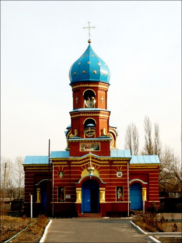
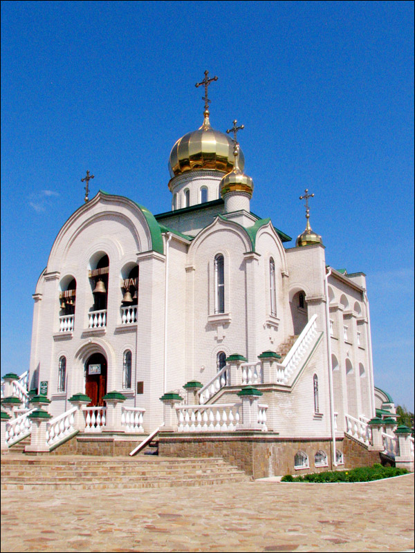
There are a lot of reserves and natural monuments in the region.
Lugansk Oblast - Economy
The economic and geographical position of Lugansk region is advantageous, since it is located within the well established territory with economically developed neighbors.
Among the positive traits are a well-developed rail network; close proximity to important raw areas (Dnieper region, Northern Caucasus and Black Earth region of Russia) and major industrial areas and centers (Kharkov, industrial centers of Russia, Rostov-on-Don).
The region has developed coal mining (Donbass), metallurgy, heavy machinery, chemical industry and agriculture.
Kharkov - Volgograd (Russia) railway and highway pass through the region.
There are gas pipelines from Stavropol and Orenburg, oil pipelines from the Volga region and North Caucasus.
As a result of the armed conflict, industrial production in the autumn of 2014 decreased by about 85 percent, many businesses closed because of the disruption of traditional economic relations and shelling.