
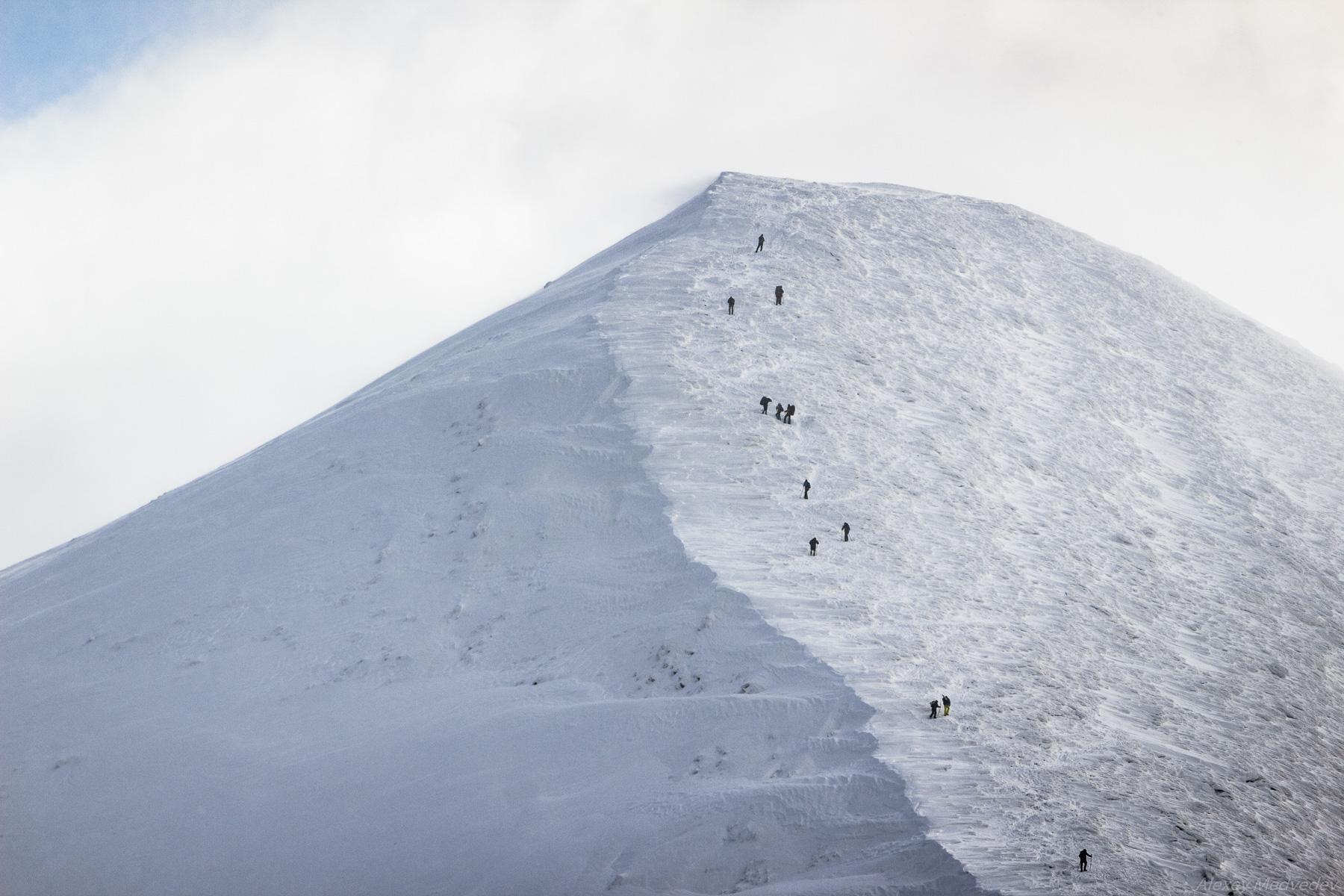
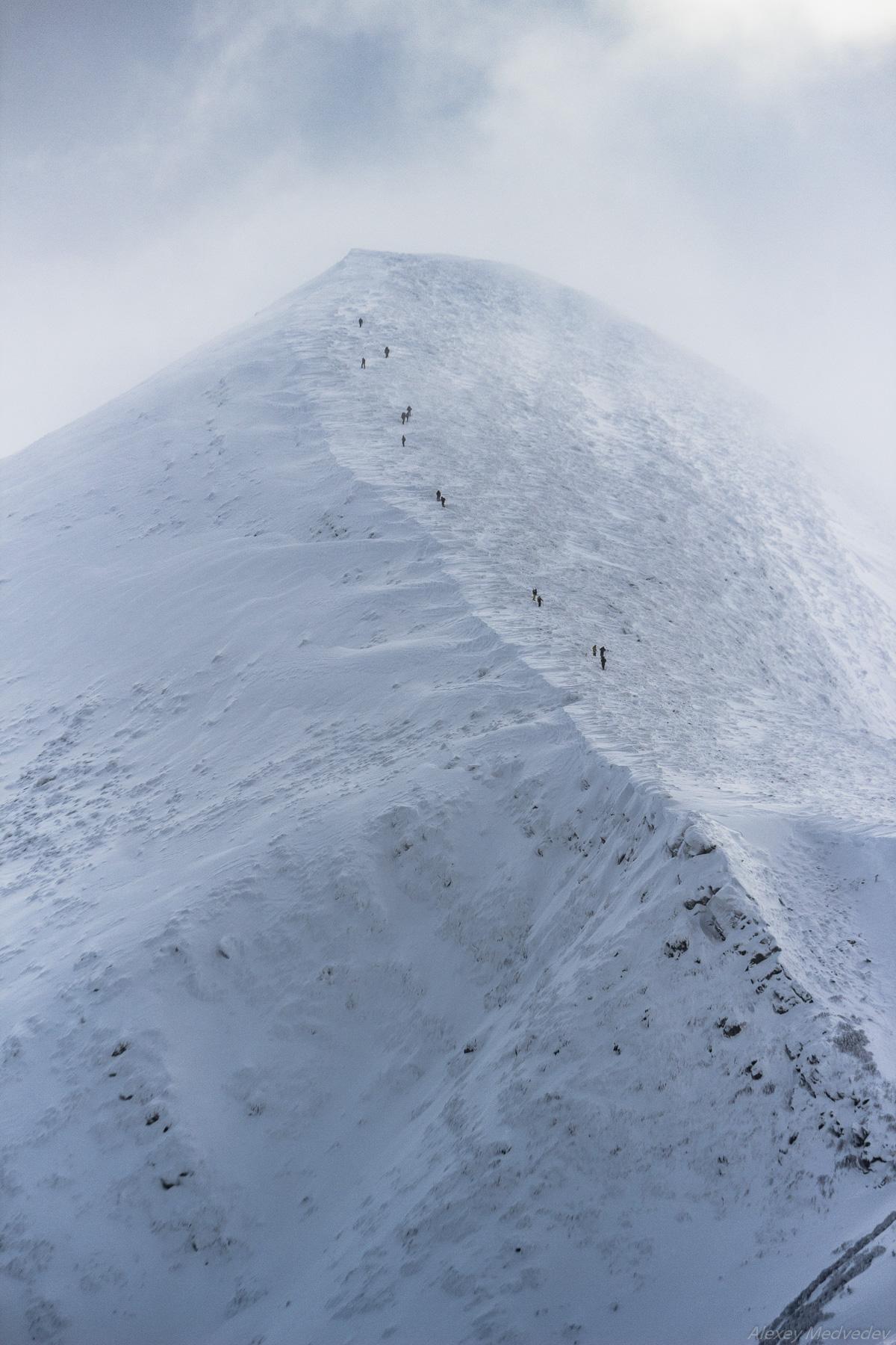
Hoverla (in Romanian, “Howarla” means “insurmountable height”) is the highest mountain and the highest point in Ukraine (2,061 m above sea level). It is located on the border of Zakarpattia Oblast and Ivano-Frankivsk Oblast, approximately 17 km from the Ukrainian border with Romania.
It’s a popular destination for summer and winter tourism. The first hiking route up the mountain was opened in 1880. In the north, you can see the cities of Ivano-Frankivsk Oblast: Ivano-Frankivsk, Kolomyia, and Snyatin. Mount Hoverla on Google Maps. Photos by: Alexey Medvedev.
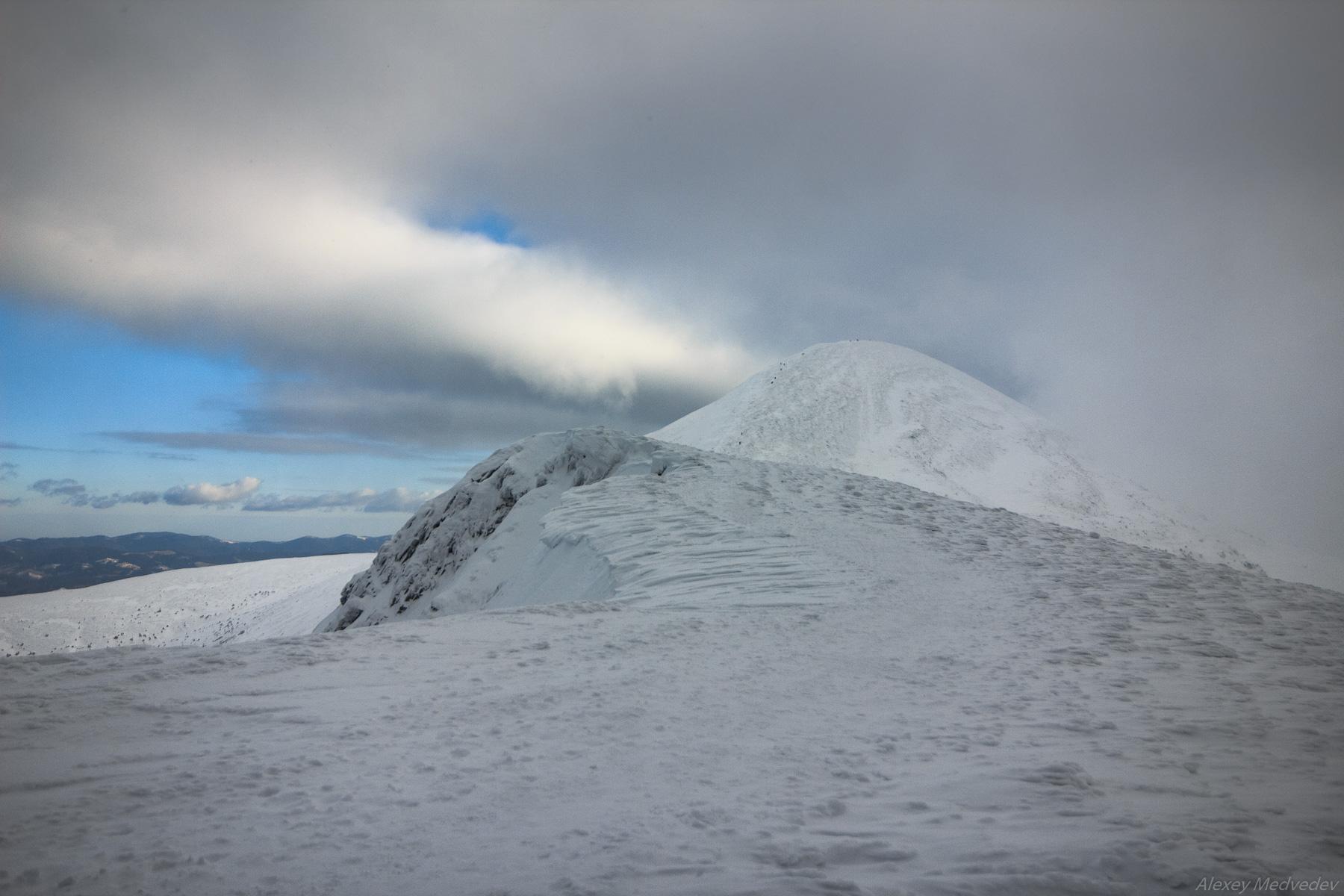
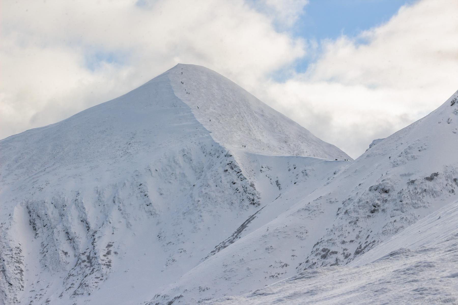
From the summit of Hoverla, Mount Petros (2,020 m) is clearly visible, as is the White Elephant observatory on Mount Pip Ivan. To the southwest of Hoverla rises the Maramures Range, which forms the border between Ukraine and Romania.

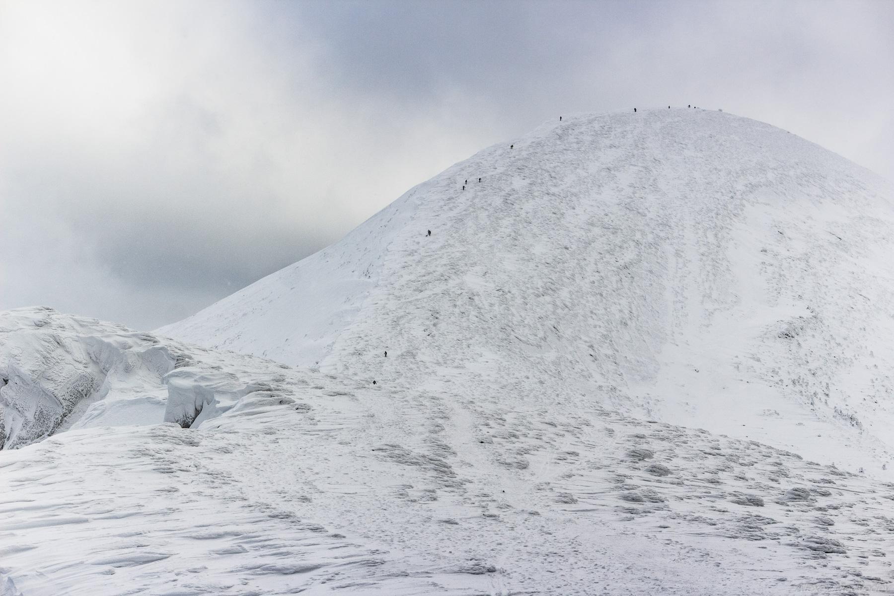
Most ascents to the summit of Hoverla begin from the Zaroslyak base camp, located at an altitude of 1,100 meters. The base can be reached on foot, by car, or by bicycle, with the easiest way being from Vorokhta or Verkhovyna.
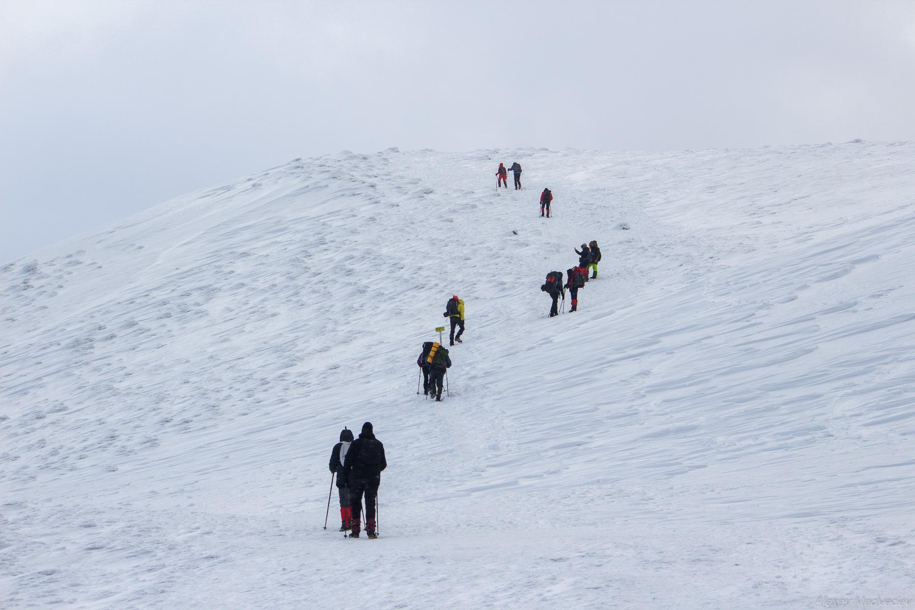
Two trails lead from the foot of the mountain to the summit: one is more gradual, with a total length of 4.3 km, and the other is steeper (3.7 km). Starting from the foot of Zaroslyak, even unprepared hikers will have no trouble climbing Hoverla in the summer.

Tags: No tags
You might also like:


<< The Sviatohirsk Lavra – the Most Picturesque Monastery of Ukraine