

CAT | Regions
19
Golden Autumn on the Sokilskyi Ridge in the Carpathians
No comments · Posted by Sergei Rzhevsky in Nature, Regions, Travel
The Sokilskyi Ridge is located in the Pokutsko-Bukovina Carpathians (part of the Ukrainian Carpathians), south of Kolomyya, in the Kosovskyi District of Ivano-Frankivsk Oblast.
The length of the ridge is about 15 km, the maximum height – 940 m. It stretches from the northwest to the southeast between the Ribnitsa and Cheremosh rivers, from Sokolivka to Velykyi Rozhyn. The Sokilskyi Ridge on Google Maps. Photos by: Oleksandr Kotenko.
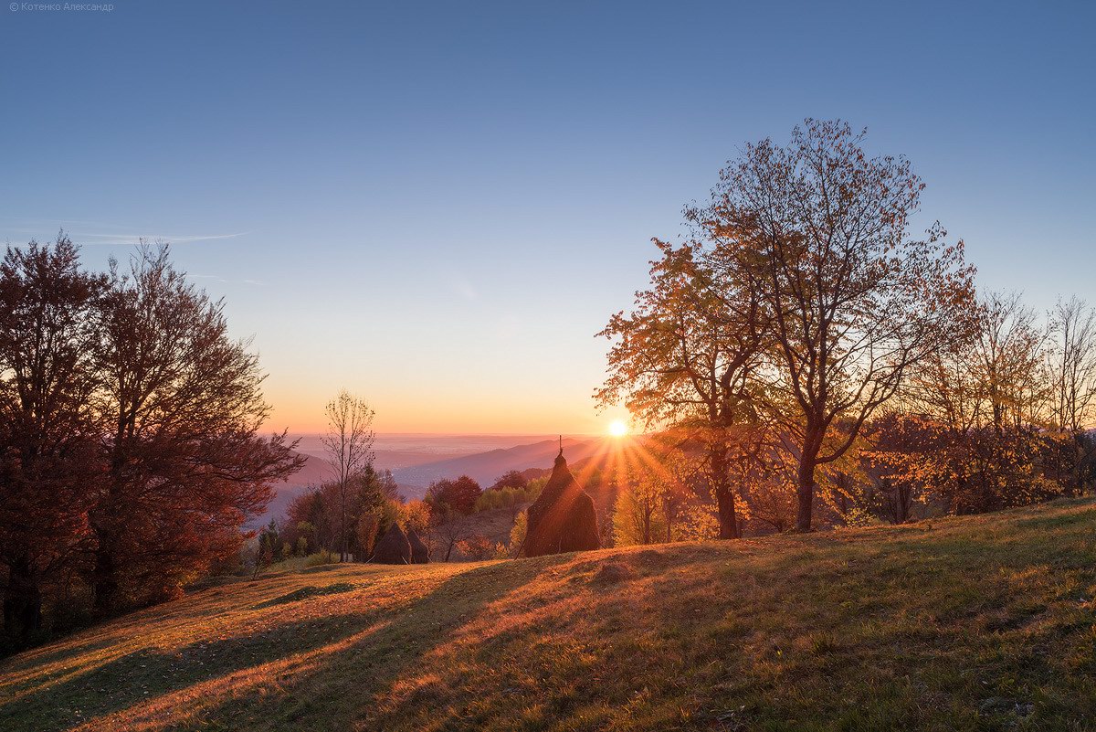
golden autumn in all its glory

Tags: Ivano-Frankivsk oblast
11
Church of St. Michael the Archangel in Uzhok
No comments · Posted by Sergei Rzhevsky in Architecture, Regions, Travel
Uzhok is a village with a population of about 700 people, located in the northwest of Zakarpattia Oblast, near the Ukrainian border with Poland.
The main attraction of this place is the wooden church of St. Michael the Archangel (1745) – an architectural monument of national significance, one of the most interesting buildings in the Boiko style. Uzhok on Google Maps. Photos by: Maxim Ritus.
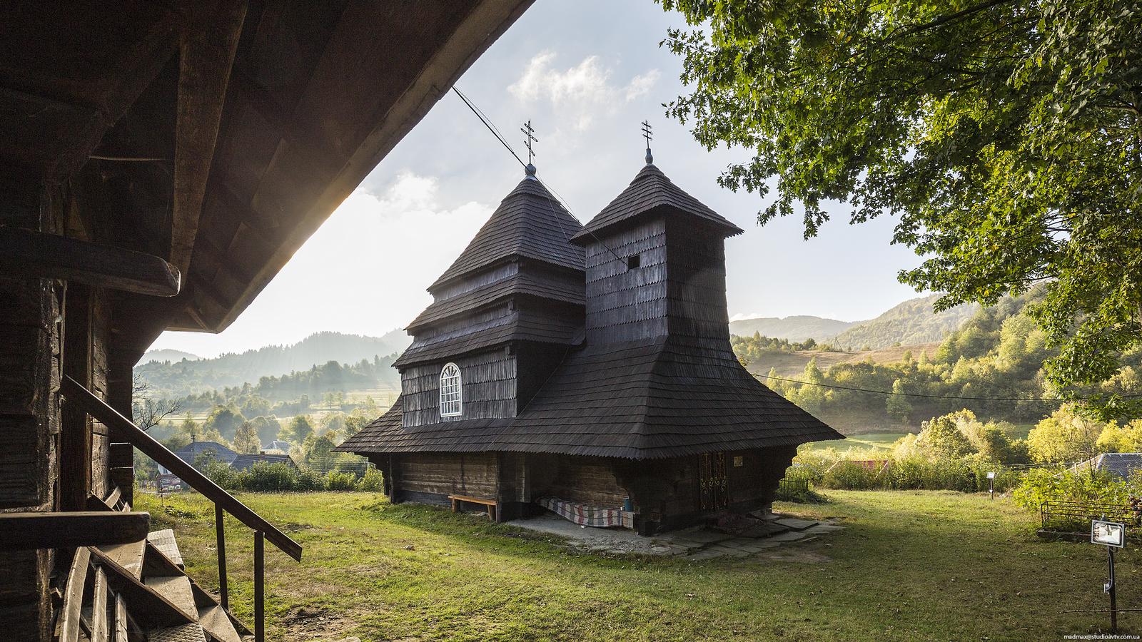
amazing monument of wooden architecture
Tags: church · Uzhgorod city · Zakarpattia oblast
24
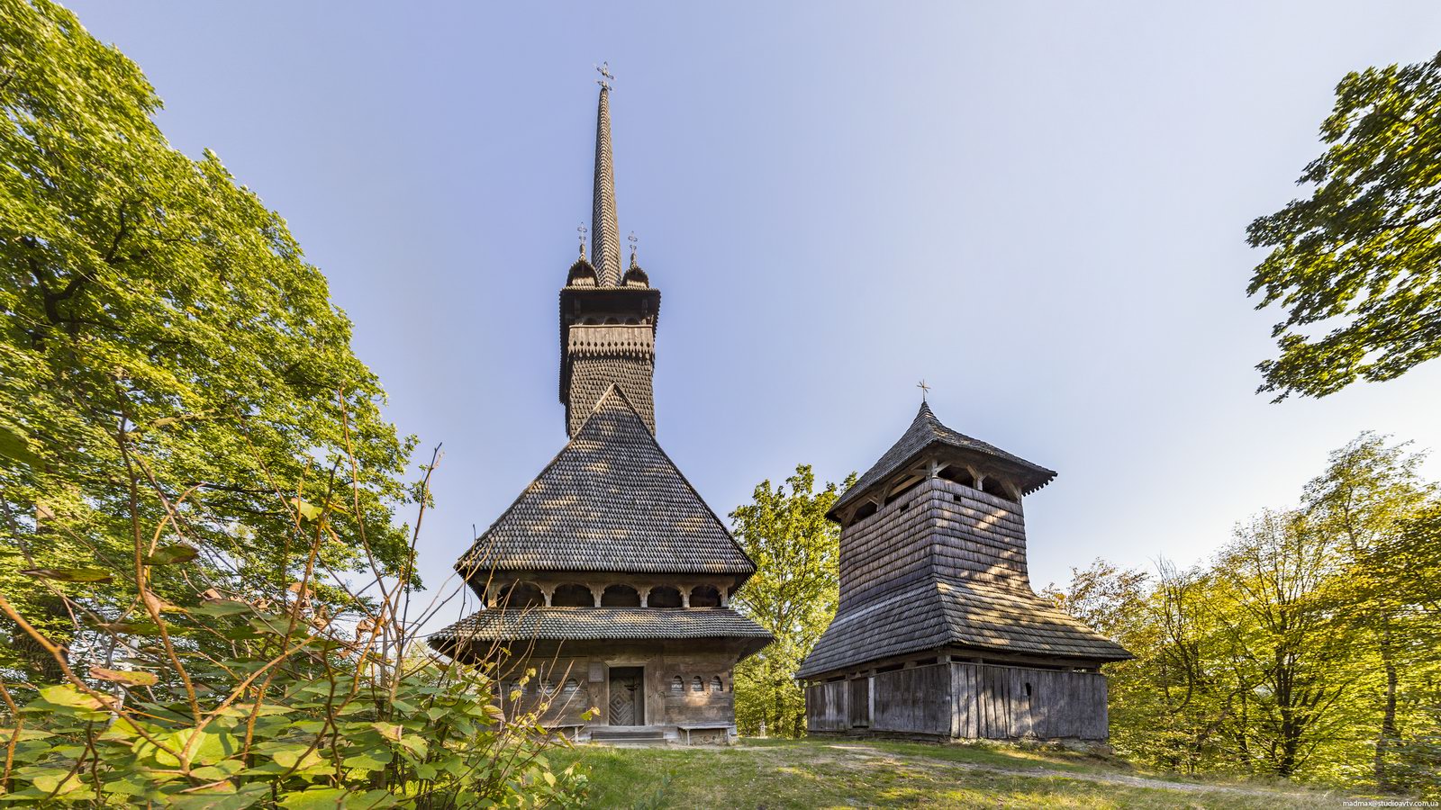
Stunning Wooden Church in Danylovo
No comments · Posted by Sergei Rzhevsky in Regions, Religion, Travel
One of the main attractions of Danylovo, a village located on the territory of the Khust district of Zakarpattia Oblast, is a very picturesque wooden Church of St. Nicholas built in 1779.
This is undoubtedly one of the most beautiful churches in Transcarpathia. Today, following restoration in 1968, it is one of the finest examples of 18th-century Carpathian wooden churches. Danylovo on Google Maps. Photos by: Maxim Ritus.
Tags: church · Zakarpattia oblast
6
Blooming Carpathians – Chornohora Mountain Range
No comments · Posted by Sergei Rzhevsky in Nature, Photos, Regions
Chornohora is the highest mountain range in the Ukrainian Carpathians located on the border of Zakarpattia Oblast and Ivano-Frankivsk Oblast.
It is especially beautiful here when the slopes of the mountain range are covered with blooming rhododendrons. Chornohora on Google Maps. Photos by: Alexander Kotenko.
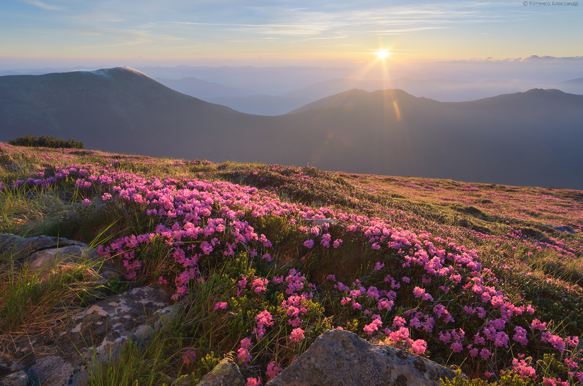
beautiful flowering mountain landscapes
Tags: Ivano-Frankivsk oblast · landscapes · Zakarpattia oblast
4
Snowy Winter on Mount Pip Ivan Chornohora
No comments · Posted by Sergei Rzhevsky in Nature, Regions, Travel
In the Ukrainian Carpathians, there are two peaks named Pip Ivan. One of them is located in Ukraine’s highest and most popular mountain range, Chornohora, hence the peak’s name, Pip Ivan Chornohora (2,028 m), or Pipivan, or Black Mountain. It is the third-highest peak in the Carpathians and the easternmost of the six two-thousanders. Its significantly lower namesake, Pip Ivan Marmaroshsky (1,936 m), is located in the Marmarosy mountain range.
The mountain is located in the southeastern part of the mountain range, on the border of Ivano-Frankivsk Oblast and Zakarpattia Oblast. Mount Pip Ivan Chornohora on Google Maps. Photos by: Alexander Kotenko.
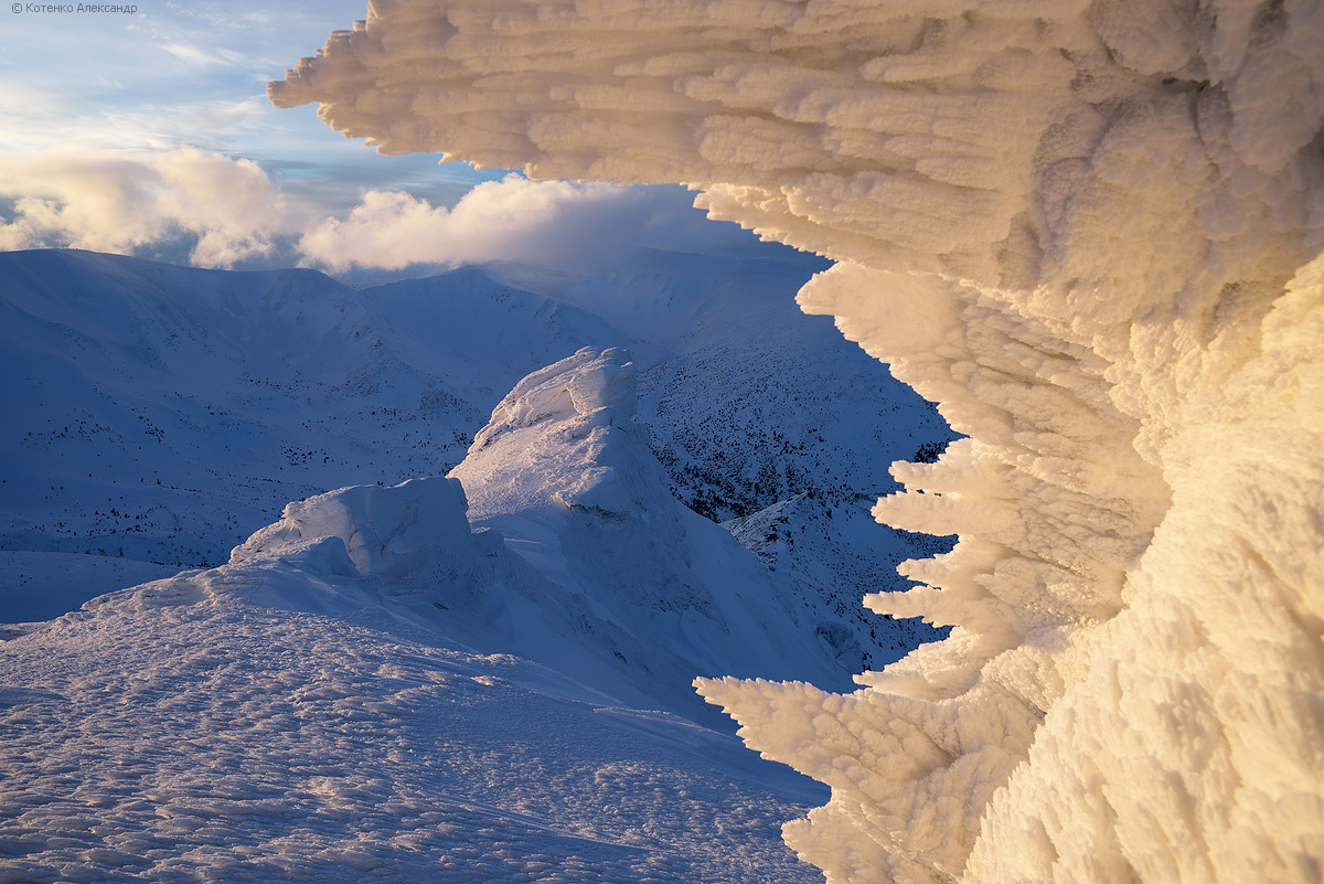
the main sight of the mountain
Tags: Ivano-Frankivsk oblast · Zakarpattia oblast
10
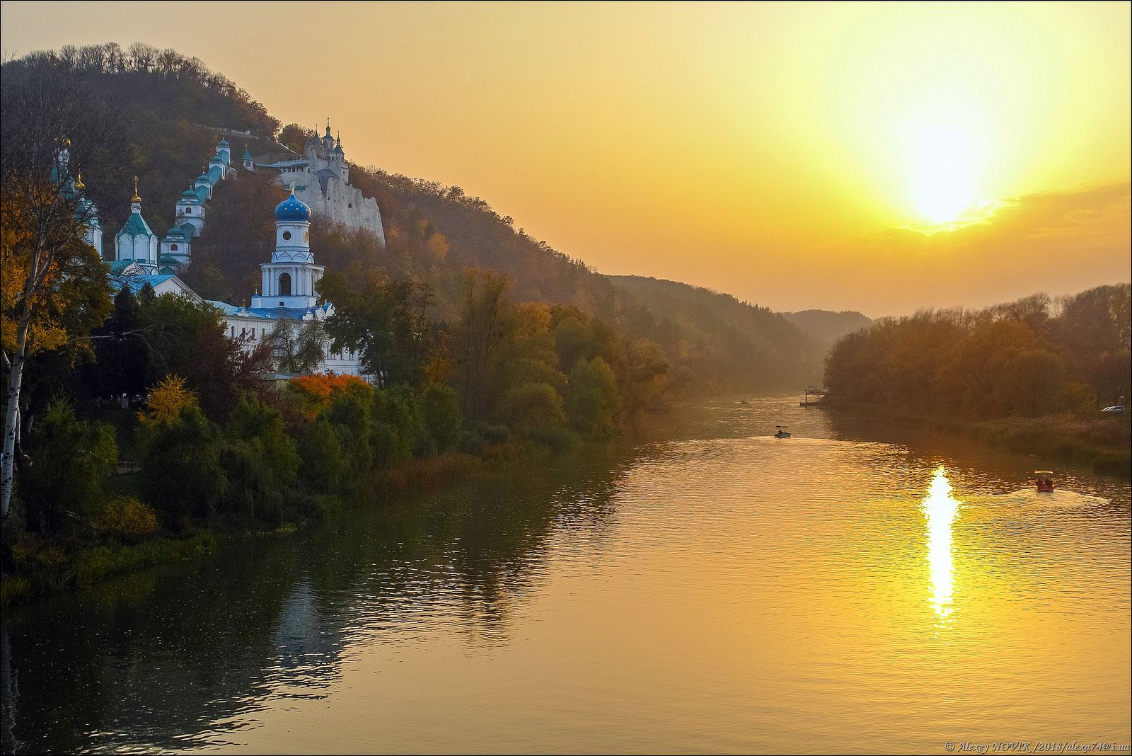
The Sviatohirsk Lavra – the Most Picturesque Monastery of Ukraine
No comments · Posted by Sergei Rzhevsky in Regions, Religion, Travel
In Ukraine, there are only three monasteries, which have the highest spiritual title of Lavra – Kyiv-Pechersk Lavra, Pochayiv Lavra and Sviatohirsk Lavra.
The Holy Assumption Sviatohirsk Lavra (also known as The Holy Mountains Lavra, Sviatohirsk Cave Monastery), an important spiritual center of eastern Ukraine and southern Russia, was first mentioned in written sources in 1526. Sviatohirsk Lavra on Google Maps. Photos by: Alexey Novik.
Tags: church · Donetsk oblast
12
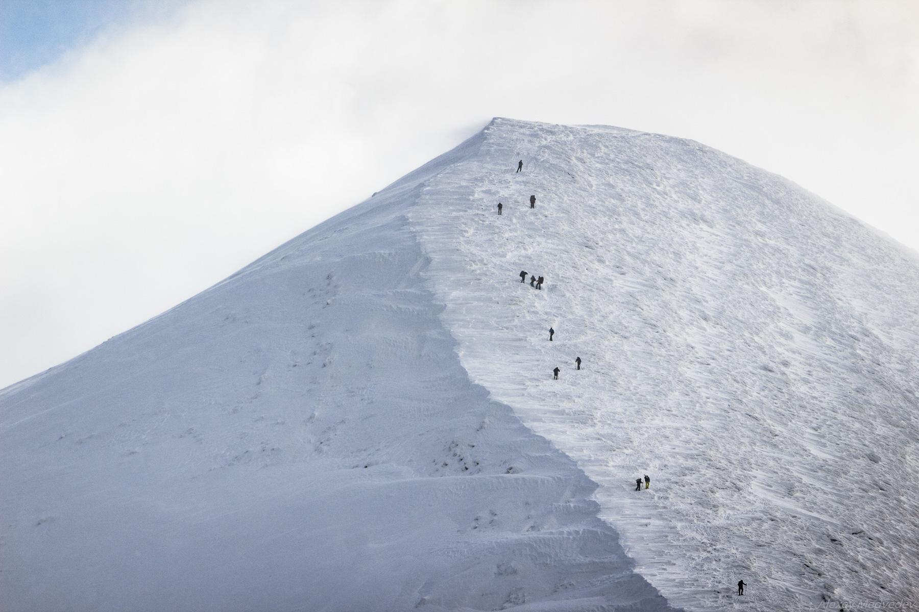
Climbing Mount Hoverla in Winter
No comments · Posted by Sergei Rzhevsky in Nature, Regions, Travel
Hoverla (in Romanian, “Howarla” means “insurmountable height”) is the highest mountain and the highest point in Ukraine (2,061 m above sea level). It is located on the border of Zakarpattia Oblast and Ivano-Frankivsk Oblast, approximately 17 km from the Ukrainian border with Romania.
It’s a popular destination for summer and winter tourism. The first hiking route up the mountain was opened in 1880. In the north, you can see the cities of Ivano-Frankivsk Oblast: Ivano-Frankivsk, Kolomyia, and Snyatin. Mount Hoverla on Google Maps. Photos by: Alexey Medvedev.
Tags: Ivano-Frankivsk oblast · Zakarpattia oblast
18
Color Photos of Putyvl in 1904-1905
No comments · Posted by Sergei Rzhevsky in History, Regions
Putivl is a small town with a population of about 12,000 people, located in Sumy Oblast, approximately 80 km northwest of the city of Sumy.
The unique photographs presented below were taken by Sergei Mikhailovich Prokudin-Gorsky, a pioneer of color photography in the Russian Empire, near the town of Putivl in 1904-1905. At that time, its population was about 10 thousand people and it was part of the Kursk Governorate of the Russian Empire. On October 16, 1925, Putyvl and its surrounding villages were transferred from the RSFSR to the Ukrainian SSR. Source: The Legacy of S. M. Prokudin-Gorsky.
The town of Putyvl of the Russian Empire.
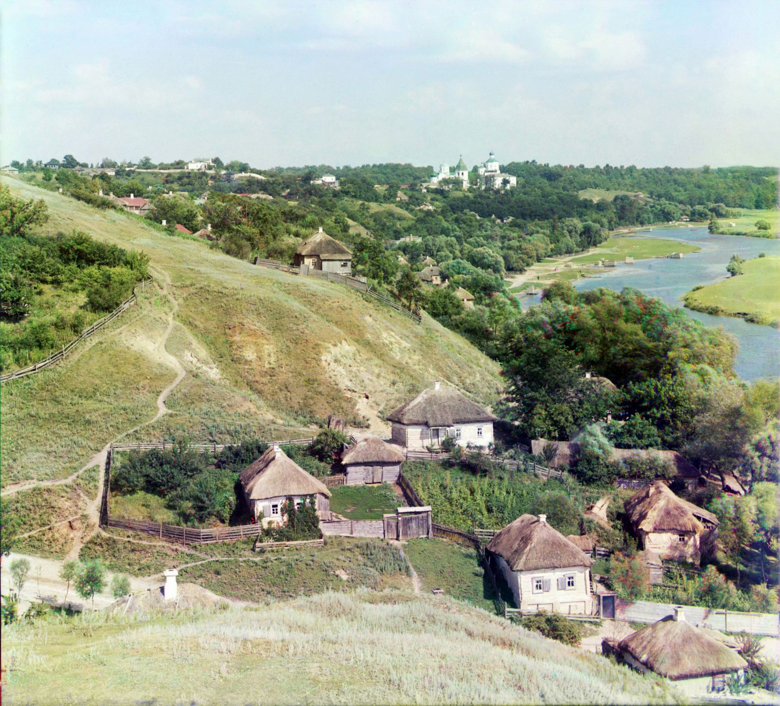
Ukraine in the early 20th century
Tags: Sumy oblast
3
Abandoned and Flooded Korostyshivsky Granite Quarry
No comments · Posted by Sergei Rzhevsky in Regions, Travel
Korostyshivsky quarry is a picturesque flooded granite quarry located on the outskirts of the town of Korostyshiv in Zhytomyr Oblast, about 30 km east of Zhytomyr and 100 km west of Kyiv.
The landscape around the quarry is unusual, the shore is covered with spruces and birches, which resembles Karelia (Russia). The height of the rocks reaches about 10 m, the depth of the artificial lake is up to 20 m. This place has become a popular object of industrial tourism and a natural landmark. Korostyshiv Quarry on Google Maps. Photos by: Igor Golovach.
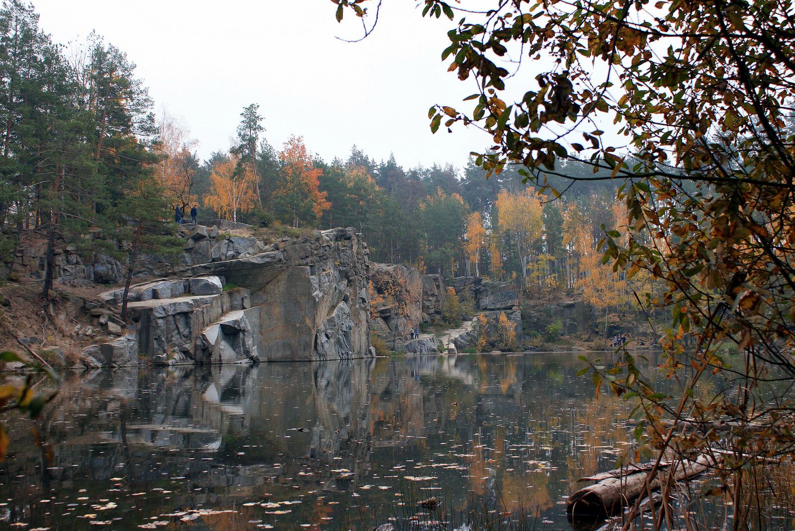
walk along the shore of an artificial lake
Tags: abandoned · Zhitomir oblast
22
The Palace of the Counts of Shenborn in Zakarpattia Oblast
No comments · Posted by Sergei Rzhevsky in Architecture, Regions
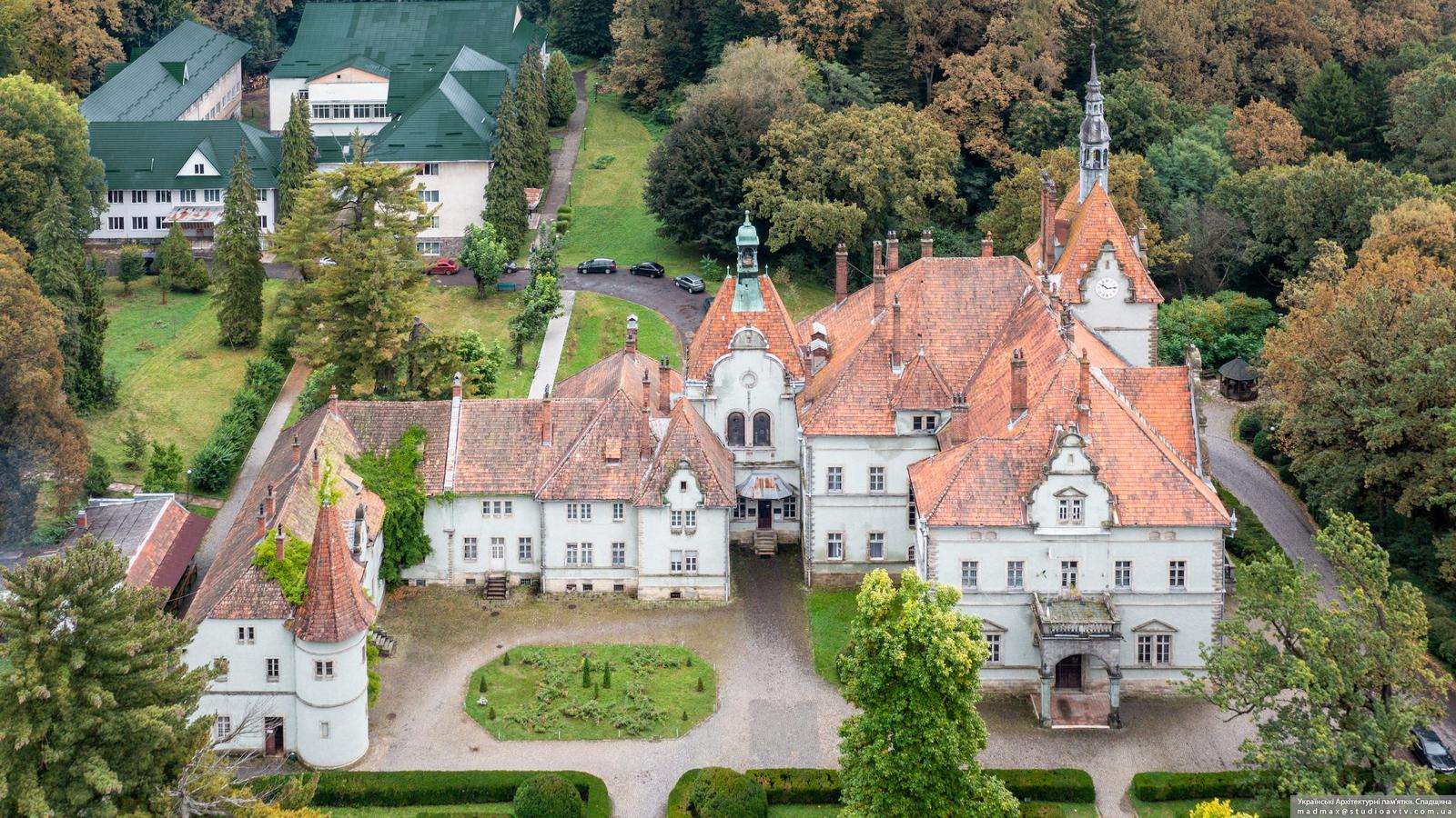
The Schenborn (Schönborn) Palace, also known as the Beregvar Hunting Lodge, is the former residence and hunting lodge of the prominent Austro-Hungarian aristocratic dynasty of Schönborn, which included several high-ranking members of the Roman Catholic clergy. Representatives of this family were the largest landowners in Transcarpathia.
This architectural monument of national importance, which currently houses the sanatorium “Karpaty” (“Carpathians”), is located in the village of Karpaty, about 17 km north-east of Mukachevo in Zakarpattia Oblast. The Schenborn Palace on Google Maps. Photos by: Maxim Ritus.
Tags: Mukachevo city · Uzhgorod city · Zakarpattia oblast